+1 (647) 710-5920 | +1 (705) 618-3690 | contact@geotasksinc.com

Service

Home

Service

Data Interpretation & Prospect Generation

Desktop studies is the cornerstone on which to start exploration work, including viewing all available geological, structural, geophysical, and geochemical available data from regional to detailed view. GeoTasks team is expert on data collection and gathering all info's in one GIS project for analysis and interpretation

Learn More
Why Choose Us

Geomatics & Mapping

    Our geographic information system (GIS) mapping section is powerful and can be used to visualize, analyze, and extrapolate information about your mineral exploration or mining project.

    Learn More
Why Choose Us

Geological Prospecting & Sampling

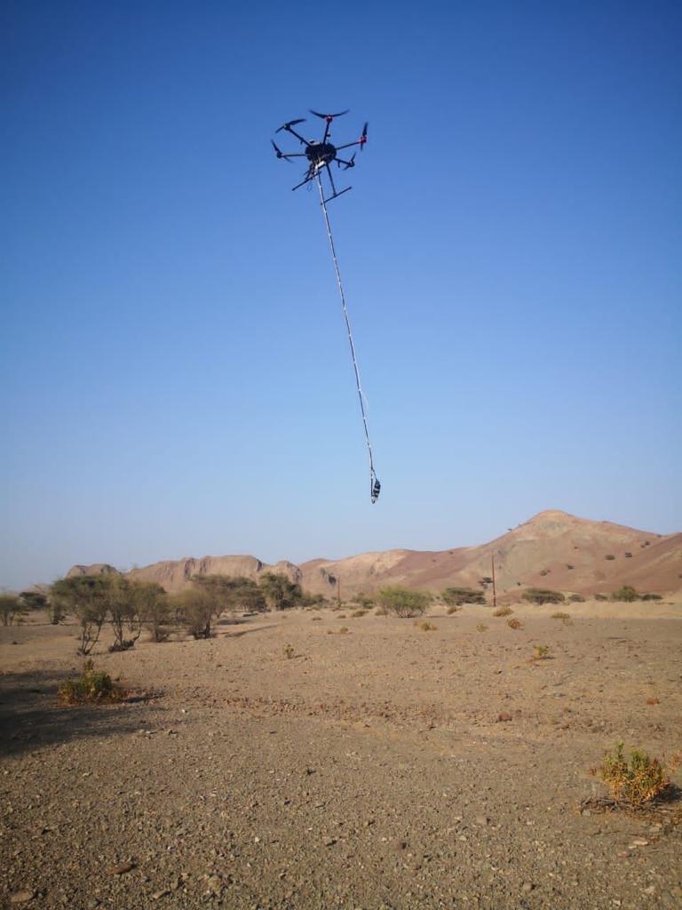
    GeoTasks team are expert on handling the prospecting phase by putting foot on ground and using the modern techniques such as unmanned aerial drones and satellite images to navigate and to find the possible trails and access.

Learn More
Why Choose Us

Geophysical Services

  • UAV/Ground Magnetic
  • DRONE/GROUND-VLF
  • GROUND EM
  • DRONE-LIDAR
  • DRONE-PHOTOMETERY
  • GRAVITY SURVEY
  • DRONE/GROUND GPR
  • RESISTIVITY/IP survey
  • SRT and MASW Survey
Learn More
Stripping Machine

Trenching and Mapping

Trenches Stripping

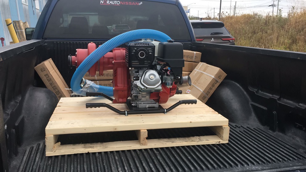
With our mobile high-pressure water pumps and more than 400m long hoses, our technicians are well known how to strip out all dirt and mud from the bedrocks, to avoid any contamination when sampling trenches

Channel Sampling

Trenches Channel sampling always is the enjoyable part, our technicians are really enjoying sawing and chip out the samples in proper way to avoid any contaminations. All necessary equipment's are ready to serve the clints: ATVs, UTVs, chain saw, chisels and hammers

Trenches mapping

Ground mapping our drone mapping with integration of GIS work, GeoTasks team are specialize on conducting both type of mapping. All instruments (Drones, high resolution cameras and GNSS survey instruments are ready to serve our clients.

Learn More

Geochemical Programs

GeoTasks offers a partial or complete package of geochemical survey programs, starting with initial survey design though samples collections till data processing and interpretation. We offer our clints the best with our ready equipment and skilled personnel. GeoTasks has its own geochemical sampling tools such as Auger and surface core sampler. Our Geochemist are ready for your project .

Learn More

Drilling Programs Supervision

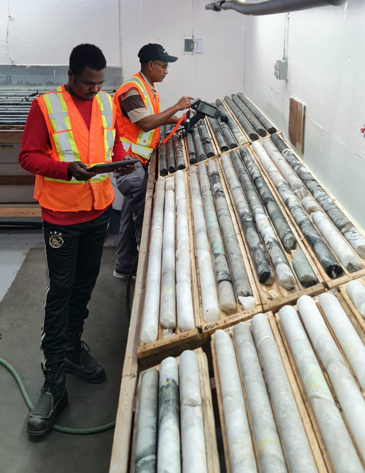
GeoTasks offers a complete package for drilling programs, starting from drilling holes spotting, Core logging, geotechnical logging, and core photography in compliance with international industry standards. We are ready for executing any drilling program, all equipment’s and personnel are ready to serve our clients.

  • Program QC/QA
  • Holes Spot
  • Core Logging
  • Core Sampling
  • Core samples Preparation
  • Mag Measurements
  • Density Measurements
  • Program Data Management
  • Project Reporting
Learn More

Claim/s Proposing

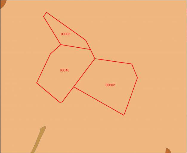
GeoTasks offers the services of claim proposing, using the available data along with our experience for geological and structural data analysis and interpretation to come up with land package proposal. We are happy to propose you a claim/s.

Learn More

Get In Touch

105-744 Bruce Ave, Sudbury, ON, Canada, P3C5H5

+1(647) 710-5920

contact@geotasksinc.com

© Geotasks Inc.. All Rights Reserved. Designed by HTML Codex & ITSUPPro
Distributed By: ThemeWagon